GeotchaA geography quiz on a real globe
Counties of Nebraska
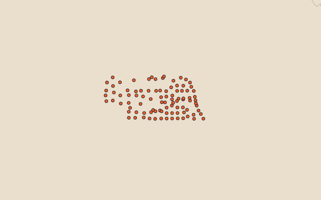
93 counties, each one drawn on a satellite globe. Name it when it lights up, find it when you are given its name, or type every one you can remember in Name all.
Free to play, with no account needed. What you miss comes back for review until it sticks.
The counties
- 1Cherry County15,437 km²
- 2Custer County6,671 km²
- 3Lincoln County6,641 km²
- 4Sheridan County6,322 km²
- 5Holt County6,248 km²
- 6Sioux County5,353 km²
- 7Garden County4,417 km²
- 8Morrill County3,688 km²
- 9Dawes County3,617 km²
- 10Brown County3,163 km²
- 11Cheyenne County3,098 km²
- 12Knox County2,871 km²
- 13Box Butte County2,785 km²
- 14Keith County2,750 km²
- 15Dawson County2,624 km²
- 16Rock County2,611 km²
- 17Frontier County2,524 km²
- 18Buffalo County2,508 km²
- 19Kimball County2,466 km²
- 20Dundy County2,382 km²
- 21Chase County2,317 km²
- 22Perkins County2,288 km²
- 23McPherson County2,225 km²
- 24Antelope County2,220 km²
- 25Gage County2,205 km²
- 26Lancaster County2,169 km²
- 27Grant County2,012 km²
- 28Keya Paha County2,002 km²
- 29Saunders County1,940 km²
- 30Banner County1,932 km²
- 31Cedar County1,917 km²
- 32Scotts Bluff County1,916 km²
- 33Hooker County1,868 km²
- 34Furnas County1,863 km²
- 35Red Willow County1,857 km²
- 36Arthur County1,852 km²
- 37Hayes County1,847 km²
- 38Thomas County1,846 km²
- 39Blaine County1,841 km²
- 40Hitchcock County1,839 km²
- 41Boone County1,778 km²
- 42Platte County1,746 km²
- 43Otoe County1,595 km²
- 44Butler County1,515 km²
- 45Franklin County1,491 km²
- 46Fillmore County1,490 km²
- 47Nuckolls County1,490 km²
- 48Wheeler County1,490 km²
- 49Webster County1,489 km²
- 50Saline County1,487 km²
- 51Thayer County1,486 km²
- 52Pierce County1,485 km²
- 53Madison County1,483 km²
- 54York County1,483 km²
- 55Clay County1,482 km²
- 56Seward County1,480 km²
- 57Cuming County1,478 km²
- 58Logan County1,478 km²
- 59Jefferson County1,477 km²
- 60Greeley County1,476 km²
and 33 more, all in the quiz.
Second-level units: the 3135 counties, within the 51 states (the first level), which the region hint names. Area in km²: the official area where the national statistics office gives one (countries whose divisions changed since Natural Earth). Each item names its source. Sources: OpenStreetMap (ODbL), national statistics offices.
On the map