GeotchaA geography quiz on a real globe
Counties of Minnesota
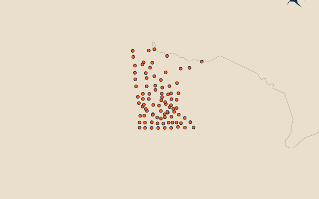
87 counties, each one drawn on a satellite globe. Name it when it lights up, find it when you are given its name, or type every one you can remember in Name all.
Free to play, with no account needed. What you miss comes back for review until it sticks.
The counties
- 1St. Louis County16,181 km²
- 2Koochiching County8,041 km²
- 3Itasca County6,909 km²
- 4Beltrami County6,487 km²
- 5Lake County5,463 km²
- 6Cass County5,236 km²
- 7Otter Tail County5,107 km²
- 8Polk County5,105 km²
- 9Aitkin County4,718 km²
- 10Marshall County4,597 km²
- 11Roseau County4,330 km²
- 12Cook County3,762 km²
- 13Pine County3,655 km²
- 14Stearns County3,478 km²
- 15Becker County3,406 km²
- 16Lake of the Woods County3,361 km²
- 17Morrison County2,914 km²
- 18Kittson County2,846 km²
- 19Clay County2,707 km²
- 20Clearwater County2,587 km²
- 21Crow Wing County2,586 km²
- 22Renville County2,546 km²
- 23Todd County2,448 km²
- 24Hubbard County2,398 km²
- 25Redwood County2,275 km²
- 26Norman County2,261 km²
- 27Fillmore County2,231 km²
- 28Carlton County2,230 km²
- 29Kandiyohi County2,065 km²
- 30Lac qui Parle County1,981 km²
- 31Yellow Medicine County1,966 km²
- 32Goodhue County1,960 km²
- 33Wilkin County1,945 km²
- 34Blue Earth County1,937 km²
- 35Swift County1,922 km²
- 36Nobles County1,852 km²
- 37Lyon County1,850 km²
- 38Faribault County1,845 km²
- 39Martin County1,845 km²
- 40Mower County1,842 km²
- 41Freeborn County1,832 km²
- 42Murray County1,825 km²
- 43Jackson County1,821 km²
- 44Pope County1,734 km²
- 45Wright County1,712 km²
- 46Olmsted County1,693 km²
- 47Cottonwood County1,658 km²
- 48Douglas County1,650 km²
- 49Winona County1,622 km²
- 50Pennington County1,597 km²
- 51Brown County1,583 km²
- 52Meeker County1,575 km²
- 53Sibley County1,525 km²
- 54Chippewa County1,505 km²
- 55Traverse County1,486 km²
- 56Mille Lacs County1,482 km²
- 57Stevens County1,460 km²
- 58Dakota County1,457 km²
- 59Mahnomen County1,445 km²
- 60Hennepin County1,435 km²
and 27 more, all in the quiz.
Second-level units: the 3135 counties, within the 51 states (the first level), which the region hint names. Area in km²: the official area where the national statistics office gives one (countries whose divisions changed since Natural Earth). Each item names its source. Sources: OpenStreetMap (ODbL), national statistics offices.
On the map
More in Minnesota
- 10 largest cities in Minnesota
- 18 largest natural lakes in Minnesota
- 24 longest rivers in Minnesota
- 20 largest lakes and reservoirs in Minnesota