GeotchaA geography quiz on a real globe
Counties of Kentucky
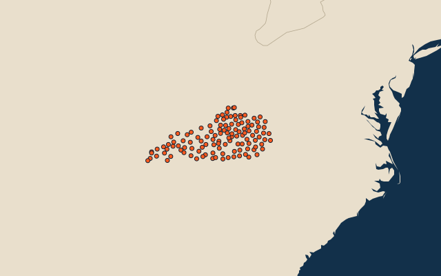
120 counties, each one drawn on a satellite globe. Name it when it lights up, find it when you are given its name, or type every one you can remember in Name all.
Free to play, with no account needed. What you miss comes back for review until it sticks.
The counties
- 1Pike County2,038 km²
- 2Christian County1,858 km²
- 3Pulaski County1,705 km²
- 4Hardin County1,615 km²
- 5Ohio County1,521 km²
- 6Breckinridge County1,476 km²
- 7Logan County1,430 km²
- 8Graves County1,429 km²
- 9Hopkins County1,404 km²
- 10Warren County1,403 km²
- 11Grayson County1,295 km²
- 12Breathitt County1,275 km²
- 13Barren County1,263 km²
- 14Lewis County1,251 km²
- 15Clay County1,215 km²
- 16Muhlenberg County1,210 km²
- 17Harlan County1,206 km²
- 18Daviess County1,187 km²
- 19Wayne County1,187 km²
- 20Casey County1,151 km²
- 21Trigg County1,143 km²
- 22Whitley County1,134 km²
- 23Madison County1,133 km²
- 24Henderson County1,130 km²
- 25Laurel County1,124 km²
- 26McCreary County1,105 km²
- 27Butler County1,104 km²
- 28Nelson County1,081 km²
- 29Lawrence County1,076 km²
- 30Hart County1,069 km²
- 31Carter County1,061 km²
- 32Adair County1,050 km²
- 33Leslie County1,038 km²
- 34Floyd County1,019 km²
- 35Knox County1,001 km²
- 36Calloway County997 km²
- 37Morgan County987 km²
- 38Jefferson County986 km²
- 39Shelby County984 km²
- 40Todd County970 km²
- 41Crittenden County932 km²
- 42Bell County930 km²
- 43Knott County910 km²
- 44Owen County909 km²
- 45Fleming County903 km²
- 46Jackson County894 km²
- 47Caldwell County893 km²
- 48Allen County892 km²
- 49Greenup County892 km²
- 50Marion County888 km²
- 51Union County888 km²
- 52Perry County880 km²
- 53Letcher County875 km²
- 54Lincoln County862 km²
- 55Webster County860 km²
- 56Monroe County853 km²
- 57Rockcastle County820 km²
- 58Livingston County811 km²
- 59Magoffin County799 km²
- 60Harrison County794 km²
and 60 more, all in the quiz.
Second-level units: the 3135 counties, within the 51 states (the first level), which the region hint names. Area in km²: the official area where the national statistics office gives one (countries whose divisions changed since Natural Earth). Each item names its source. Sources: OpenStreetMap (ODbL), national statistics offices.
On the map
More in Kentucky
- 10 largest cities in Kentucky
- 9 largest lakes and reservoirs in Kentucky
- 13 longest rivers in Kentucky