GeotchaA geography quiz on a real globe
Counties of Kansas
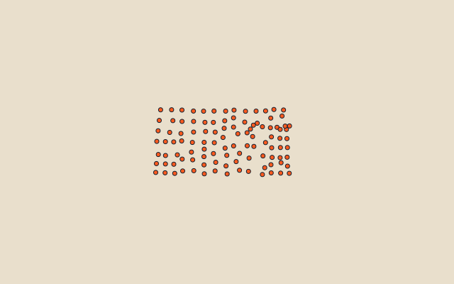
105 counties, each one drawn on a satellite globe. Name it when it lights up, find it when you are given its name, or type every one you can remember in Name all.
Free to play, with no account needed. What you miss comes back for review until it sticks.
The counties
- 1Butler County3,703 km²
- 2Finney County3,372 km²
- 3Reno County3,251 km²
- 4Sumner County3,061 km²
- 5Greenwood County2,961 km²
- 6Barber County2,937 km²
- 7Cowley County2,916 km²
- 8Ford County2,845 km²
- 9Ness County2,784 km²
- 10Thomas County2,783 km²
- 11Logan County2,779 km²
- 12Gove County2,776 km²
- 13Rawlins County2,770 km²
- 14Sherman County2,735 km²
- 15Cheyenne County2,642 km²
- 16Sedgwick County2,582 km²
- 17Hamilton County2,581 km²
- 18Meade County2,533 km²
- 19Clark County2,524 km²
- 20Marion County2,446 km²
- 21Wallace County2,366 km²
- 22Jewell County2,357 km²
- 23Ellis County2,331 km²
- 24Marshall County2,331 km²
- 25Graham County2,327 km²
- 26McPherson County2,327 km²
- 27Sheridan County2,321 km²
- 28Barton County2,319 km²
- 29Smith County2,319 km²
- 30Washington County2,317 km²
- 31Decatur County2,314 km²
- 32Osborne County2,312 km²
- 33Rooks County2,306 km²
- 34Trego County2,304 km²
- 35Russell County2,295 km²
- 36Phillips County2,294 km²
- 37Norton County2,274 km²
- 38Kearny County2,255 km²
- 39Gray County2,250 km²
- 40Kingman County2,236 km²
- 41Hodgeman County2,227 km²
- 42Lyon County2,195 km²
- 43Dickinson County2,194 km²
- 44Pottawatomie County2,178 km²
- 45Harper County2,075 km²
- 46Wabaunsee County2,057 km²
- 47Stafford County2,051 km²
- 48Comanche County2,042 km²
- 49Greeley County2,016 km²
- 50Chase County2,002 km²
- 51Pawnee County1,954 km²
- 52Pratt County1,904 km²
- 53Morton County1,890 km²
- 54Stevens County1,884 km²
- 55Rice County1,881 km²
- 56Kiowa County1,872 km²
- 57Ottawa County1,867 km²
- 58Saline County1,865 km²
- 59Lincoln County1,863 km²
- 60Wichita County1,861 km²
and 45 more, all in the quiz.
Second-level units: the 3135 counties, within the 51 states (the first level), which the region hint names. Area in km²: the official area where the national statistics office gives one (countries whose divisions changed since Natural Earth). Each item names its source. Sources: OpenStreetMap (ODbL), national statistics offices.
On the map