GeotchaA geography quiz on a real globe
Counties of Indiana
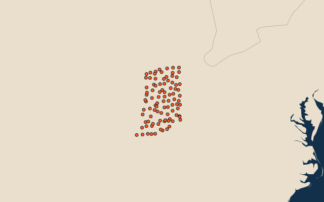
92 counties, each one drawn on a satellite globe. Name it when it lights up, find it when you are given its name, or type every one you can remember in Name all.
Free to play, with no account needed. What you miss comes back for review until it sticks.
The counties
- 1Allen County1,702 km²
- 2LaPorte County1,550 km²
- 3Jasper County1,450 km²
- 4Greene County1,405 km²
- 5Kosciusko County1,376 km²
- 6Knox County1,336 km²
- 7Washington County1,330 km²
- 8Jackson County1,321 km²
- 9White County1,308 km²
- 10Montgomery County1,307 km²
- 11Lake County1,292 km²
- 12Tippecanoe County1,292 km²
- 13Gibson County1,262 km²
- 14Harrison County1,254 km²
- 15Putnam County1,245 km²
- 16Elkhart County1,200 km²
- 17St. Joseph County1,186 km²
- 18Randolph County1,172 km²
- 19Madison County1,170 km²
- 20Lawrence County1,163 km²
- 21Sullivan County1,158 km²
- 22Ripley County1,156 km²
- 23Parke County1,152 km²
- 24Marshall County1,149 km²
- 25Pulaski County1,123 km²
- 26Daviess County1,112 km²
- 27Dubois County1,107 km²
- 28Boone County1,095 km²
- 29Porter County1,083 km²
- 30Grant County1,072 km²
- 31Wabash County1,068 km²
- 32Cass County1,067 km²
- 33Shelby County1,065 km²
- 34Noble County1,064 km²
- 35Posey County1,060 km²
- 36Rush County1,057 km²
- 37Bartholomew County1,054 km²
- 38Hendricks County1,054 km²
- 39Benton County1,053 km²
- 40Clinton County1,049 km²
- 41Morgan County1,046 km²
- 42Vigo County1,045 km²
- 43Newton County1,041 km²
- 44Wayne County1,041 km²
- 45Orange County1,032 km²
- 46Spencer County1,028 km²
- 47Marion County1,027 km²
- 48Fountain County1,025 km²
- 49Monroe County1,022 km²
- 50Hamilton County1,021 km²
- 51Delaware County1,016 km²
- 52Henry County1,015 km²
- 53Owen County998 km²
- 54Warrick County997 km²
- 55Franklin County996 km²
- 56Jay County994 km²
- 57Huntington County991 km²
- 58Perry County989 km²
- 59LaGrange County983 km²
- 60Jennings County975 km²
and 32 more, all in the quiz.
Second-level units: the 3135 counties, within the 51 states (the first level), which the region hint names. Area in km²: the official area where the national statistics office gives one (countries whose divisions changed since Natural Earth). Each item names its source. Sources: OpenStreetMap (ODbL), national statistics offices.
On the map