GeotchaA geography quiz on a real globe
Counties of Illinois
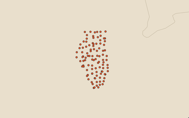
102 counties, each one drawn on a satellite globe. Name it when it lights up, find it when you are given its name, or type every one you can remember in Name all.
Free to play, with no account needed. What you miss comes back for review until it sticks.
The counties
- 1McLean County3,065 km²
- 2LaSalle County2,940 km²
- 3Iroquois County2,894 km²
- 4Livingston County2,703 km²
- 5Champaign County2,580 km²
- 6Cook County2,447 km²
- 7Vermilion County2,327 km²
- 8Bureau County2,251 km²
- 9Sangamon County2,249 km²
- 10Fulton County2,242 km²
- 11Macoupin County2,235 km²
- 12Adams County2,215 km²
- 13Will County2,165 km²
- 14Pike County2,153 km²
- 15Henry County2,132 km²
- 16Hancock County2,056 km²
- 17Ogle County1,965 km²
- 18Shelby County1,965 km²
- 19Lee County1,877 km²
- 20Fayette County1,856 km²
- 21Knox County1,855 km²
- 22Madison County1,853 km²
- 23Wayne County1,849 km²
- 24Christian County1,838 km²
- 25Montgomery County1,823 km²
- 26Whiteside County1,772 km²
- 27Kankakee County1,752 km²
- 28St. Clair County1,703 km²
- 29Tazewell County1,674 km²
- 30DeKalb County1,635 km²
- 31Edgar County1,614 km²
- 32Peoria County1,602 km²
- 33Logan County1,601 km²
- 34McHenry County1,563 km²
- 35Jo Daviess County1,556 km²
- 36McDonough County1,526 km²
- 37Jackson County1,511 km²
- 38Macon County1,504 km²
- 39Randolph County1,490 km²
- 40Marion County1,483 km²
- 41Jefferson County1,479 km²
- 42Morgan County1,474 km²
- 43Stephenson County1,461 km²
- 44Washington County1,457 km²
- 45Mercer County1,454 km²
- 46Greene County1,406 km²
- 47Warren County1,405 km²
- 48Mason County1,397 km²
- 49Woodford County1,366 km²
- 50Kane County1,345 km²
- 51Winnebago County1,329 km²
- 52Coles County1,316 km²
- 53Clark County1,299 km²
- 54White County1,282 km²
- 55Jasper County1,281 km²
- 56Ford County1,258 km²
- 57Effingham County1,240 km²
- 58Clinton County1,228 km²
- 59Clay County1,213 km²
- 60Carroll County1,154 km²
and 42 more, all in the quiz.
Second-level units: the 3135 counties, within the 51 states (the first level), which the region hint names. Area in km²: the official area where the national statistics office gives one (countries whose divisions changed since Natural Earth). Each item names its source. Sources: OpenStreetMap (ODbL), national statistics offices.
On the map