GeotchaA geography quiz on a real globe
Counties of Idaho
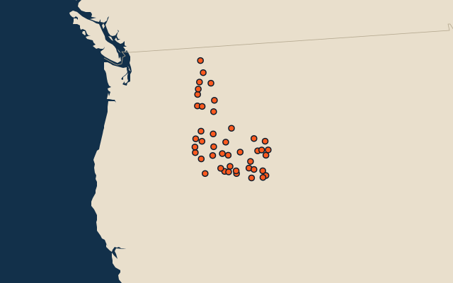
44 counties, each one drawn on a satellite globe. Name it when it lights up, find it when you are given its name, or type every one you can remember in Name all.
Free to play, with no account needed. What you miss comes back for review until it sticks.
The counties
- 1Idaho County21,957 km²
- 2Owyhee County19,861 km²
- 3Custer County12,748 km²
- 4Lemhi County11,820 km²
- 5Valley County9,493 km²
- 6Elmore County7,964 km²
- 7Blaine County6,832 km²
- 8Shoshone County6,831 km²
- 9Cassia County6,645 km²
- 10Clearwater County6,364 km²
- 11Butte County5,792 km²
- 12Bingham County5,423 km²
- 13Twin Falls County4,977 km²
- 14Boise County4,920 km²
- 15Bonneville County4,833 km²
- 16Fremont County4,828 km²
- 17Caribou County4,569 km²
- 18Clark County4,567 km²
- 19Bonner County4,489 km²
- 20Washington County3,763 km²
- 21Power County3,636 km²
- 22Adams County3,530 km²
- 23Boundary County3,286 km²
- 24Kootenai County3,206 km²
- 25Lincoln County3,112 km²
- 26Oneida County3,105 km²
- 27Bannock County2,881 km²
- 28Jefferson County2,833 km²
- 29Latah County2,786 km²
- 30Camas County2,782 km²
- 31Ada County2,725 km²
- 32Bear Lake County2,527 km²
- 33Nez Perce County2,197 km²
- 34Benewah County2,012 km²
- 35Minidoka County1,961 km²
- 36Gooding County1,889 km²
- 37Franklin County1,717 km²
- 38Jerome County1,548 km²
- 39Canyon County1,520 km²
- 40Gem County1,450 km²
- 41Lewis County1,240 km²
- 42Madison County1,215 km²
- 43Teton County1,163 km²
- 44Payette County1,054 km²
Second-level units: the 3135 counties, within the 51 states (the first level), which the region hint names. Area in km²: the official area where the national statistics office gives one (countries whose divisions changed since Natural Earth). Each item names its source. Sources: OpenStreetMap (ODbL), national statistics offices.
On the map
More in Idaho
- 10 largest cities in Idaho
- 11 largest lakes and reservoirs in Idaho
- 17 longest rivers in Idaho
- 14 highest peaks in Idaho