GeotchaA geography quiz on a real globe
Counties of Greater Poland
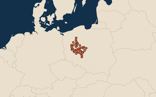
35 counties, each one drawn on a satellite globe. Name it when it lights up, find it when you are given its name, or type every one you can remember in Name all.
Free to play, with no account needed. What you miss comes back for review until it sticks.
The counties
- 1Poznań County1,900 km²
- 2Czarnków-Trzcianka County1,808 km²
- 3Złotów County1,661 km²
- 4Konin County1,578 km²
- 5Piła County1,266 km²
- 6Gniezno County1,255 km²
- 7Kalisz County1,160 km²
- 8Ostrów Wielkopolski County1,160 km²
- 9Szamotuły County1,119 km²
- 10Wągrowiec County1,040 km²
- 11Nowy Tomyśl County1,012 km²
- 12Koło County1,011 km²
- 13Turek County930 km²
- 14Słupca County838 km²
- 15Gostyń County810 km²
- 16Leszno County806 km²
- 17Ostrzeszów County773 km²
- 18Międzychód County736 km²
- 19Kościan County722 km²
- 20Krotoszyn County714 km²
- 21Pleszew County713 km²
- 22Oborniki County711 km²
- 23Września County703 km²
- 24Chodzież County685 km²
- 25Wolsztyn County680 km²
- 26Grodzisk Wielkopolski County644 km²
- 27Środa Wielkopolska County623 km²
- 28Kępno County608 km²
- 29Jarocin County588 km²
- 30Śrem County574 km²
- 31Rawicz County553 km²
- 32Poznan262 km²
- 33Konin82 km²
- 34Kalisz69 km²
- 35Leszno32 km²
Second-level units: the 380 counties, within the 16 voivodeships (the first level), which the region hint names. Area in km²: the official area where the national statistics office gives one (countries whose divisions changed since Natural Earth). Each item names its source. Sources: OpenStreetMap (ODbL), national statistics offices.
On the map