GeotchaA geography quiz on a real globe
50 largest islands in the Maluku Islands
50 islands, each one drawn on a satellite globe. Name it when it lights up, find it when you are given its name, or type every one you can remember in Name all.
Free to start: a few quizzes a day cost nothing, and Geotcha Plus opens every quiz. What you miss comes back for review until it sticks.
The full list
About this quiz
Halmahera is the largest of the 50 islands in this quiz, at 17,780 km²; Obilatu Island is the smallest listed, at 64 km². The three largest hold 61% of the combined area of all 50.
What they are known for
- Halmahera: K-shaped Moluccan island whose small western neighbours, Ternate and Tidore, were rival clove sultanates of the spice trade.
- Seram: Mountainous Moluccan island known as the mother island in local tradition.
- Buru: Moluccan island used as a prison camp where novelist Pramoedya Ananta Toer wrote his famous quartet.
The islands
- 1Halmahera17,780 km²
- 2Seram17,454 km²
- 3Buru8,473 km²
- 4Yamdena3,100 km²
- 5Taliabu2,913 km²
- 6Wetar2,600 km²
- 7Obimayor Island2,542 km²
- 8Morotai2,316 km²
- 9Terangan Island2,149 km²
- 10Bacan1,800 km²
- 11Kobroor1,723 km²
- 12Mangoli Island1,229 km²
- 13Ambon Island804 km²
- 14Babar Island623 km²
- 15Sulabesi Island558 km²
- 16Nuhu Yuthu Island543 km²
- 17Kei Kecil Island416 km²
- 18Maikoor398 km²
- 19Kasiruta394 km²
- 20Moa360 km²
- 21Selaru347 km²
- 22Kobaseltimur Island217 km²
- 23Mandioli Island216 km²
- 24Larat215 km²
- 25Damar Island192 km²
- 26Haruku Island178 km²
- 27Romang174 km²
- 28Wokai Island164 km²
- 29Saparua161 km²
- 30Wuryaru Island157 km²
- 31Kelang141 km²
- 32Gebe139 km²
- 33Buano Island120 km²
- 34Tidore Island116 km²
- 35Manipa114 km²
- 36Lakor Island111 km²
- 37Baun Island108 km²
- 38Sermata Island108 km²
- 39Ternate Island102 km²
- 40Seira Island96 km²
- 41Dullah Island94 km²
- 42Letti Island90 km²
- 43Selu Island85 km²
- 44Makian Island84 km²
- 45Kisar82 km²
- 46Molo Island75 km²
- 47Ambalau Island70 km²
- 48Kayoa69 km²
- 49Gorom Island66 km²
- 50Obilatu Island64 km²
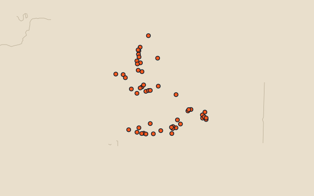
On the map
More in Maluku Islands
Similar quizzes
- 50 largest islands in the Pacific Islands
- 50 largest islands in the Malay Archipelago
- 50 largest islands in Melanesia
- 50 largest islands in the British Isles
- 50 largest islands in the Sunda Islands
- 50 largest islands in Polynesia
- 50 largest islands in the Arctic Archipelago
- 50 largest islands in the Greater Sunda Islands
The whole world
How the figures are measured
Land area in km²: the Largest Islands set’s figure for its islands, else Wikidata’s (P2046) where it fits the outline, else the area of the outline. Every island Natural Earth draws at 1:10m that Wikidata names, of 5 km² or more (smaller ones when well known), and every island of the Largest Islands set. Countries are those the island’s land lies in, from the outlines. The Maluku Islands: the 101 islands of the island group, its smaller groups included (the islands pool's islands only).