GeotchaA geography quiz on a real globe
Regions of Trinidad and Tobago
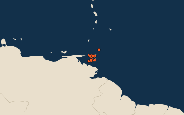
15 regions, each one drawn on a satellite globe. Name it when it lights up, find it when you are given its name, or type every one you can remember in Name all.
Free to play, with no account needed. What you miss comes back for review until it sticks.
The regions
- 1Sangre Grande927 km²
- 2Mayaro-Rio Claro814 km²
- 3Couva-Tabaquite-Talparo723 km²
- 4Princes Town620 km²
- 5Tunapuna-Piarco510 km²
- 6Siparia495 km²
- 7Tobago300 km²
- 8Penal-Debe246 km²
- 9San Juan-Laventille239 km²
- 10Diego Martin126 km²
- 11Chaguanas59 km²
- 12Point Fortin25 km²
- 13San Fernando19 km²
- 14Arima12 km²
- 15Port of Spain12 km²
Area in km²: the official area where the national statistics office gives one (countries whose divisions changed since Natural Earth). Each item names its source. Sources: OpenStreetMap (ODbL), national statistics offices.
On the map
More in Trinidad and Tobago
- 13 largest cities in Trinidad and Tobago
- 10 most populous regions of Trinidad and Tobago
- 10 largest cities in Trinidad and Tobago
- Regional capitals of Trinidad and Tobago
Similar quizzes
- States and the federal district of the United States
- 10 most populous states and the federal district of the United States
- States and union territories of India
- 10 most populous states and union territories of India
- States and the federal district of Brazil
- 10 most populous states and the federal district of Brazil
- Provinces, autonomous regions and municipalities of China
- 10 most populous provinces, autonomous regions and municipalities of China
- States of Germany
- 10 most populous states of Germany
- US states