GeotchaA geography quiz on a real globe
Regions of Ghana
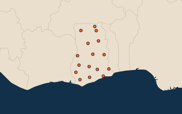
16 regions, each one drawn on a satellite globe. Name it when it lights up, find it when you are given its name, or type every one you can remember in Name all.
Free to play, with no account needed. What you miss comes back for review until it sticks.
The regions
- 1Savannah35,964 km²
- 2Northern24,963 km²
- 3Ashanti24,486 km²
- 4Bono East23,676 km²
- 5Eastern18,993 km²
- 6Upper West18,726 km²
- 7Western14,308 km²
- 8Bono11,539 km²
- 9Oti11,125 km²
- 10Western North10,116 km²
- 11Central9,688 km²
- 12Volta9,581 km²
- 13North East9,078 km²
- 14Upper East8,686 km²
- 15Ahafo5,220 km²
- 16Greater Accra3,697 km²
Area in km²: else the area measured on the outline. Each item names its source. Sources: OpenStreetMap (ODbL).
On the map
More in Ghana
- 25 largest cities in Ghana
- 10 most populous regions of Ghana
- 7 longest rivers in Ghana
- 10 largest cities in Ghana
- Cities ranked 26–50 in Ghana
- Regional capitals of Ghana
Similar quizzes
- States and the federal district of the United States
- 10 most populous states and the federal district of the United States
- States and union territories of India
- 10 most populous states and union territories of India
- States and the federal district of Brazil
- 10 most populous states and the federal district of Brazil
- Provinces, autonomous regions and municipalities of China
- 10 most populous provinces, autonomous regions and municipalities of China
- States of Germany
- 10 most populous states of Germany
- US states