GeotchaA geography quiz on a real globe
Provinces of Equatorial Guinea
8 provinces, each one drawn on a satellite globe. Name it when it lights up, find it when you are given its name, or type every one you can remember in Name all.
Free to play, with no account needed. What you miss comes back for review until it sticks.
The provinces
- 1Centro Sur9,931 km²
- 2Litoral6,666 km²
- 3Wele-Nzas5,026 km²
- 4Kié-Ntem3,943 km²
- 5Bioko Sur1,241 km²
- 6Bioko Norte776 km²
- 7Djibloho453 km²
- 8Annobón17 km²
Area in km²: the official area where the national statistics office gives one (countries whose divisions changed since Natural Earth). Each item names its source. Sources: OpenStreetMap (ODbL), national statistics offices.
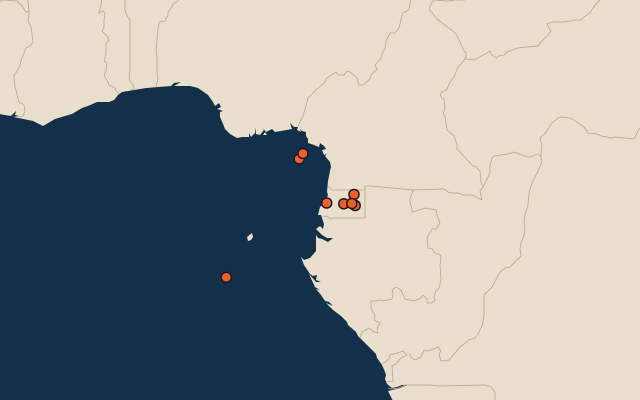
On the map
More in Equatorial Guinea
Similar quizzes
- States and the federal district of the United States
- 10 most populous states and the federal district of the United States
- States and union territories of India
- 10 most populous states and union territories of India
- States and the federal district of Brazil
- 10 most populous states and the federal district of Brazil
- Provinces, autonomous regions and municipalities of China
- 10 most populous provinces, autonomous regions and municipalities of China
- States of Germany
- 10 most populous states of Germany
- US states