GeotchaA geography quiz on a real globe
Principal areas of Wales
22 principal areas, each one drawn on a satellite globe. Name it when it lights up, find it when you are given its name, or type every one you can remember in Name all.
Free to start: a few quizzes a day cost nothing, and Geotcha Plus opens every quiz. What you miss comes back for review until it sticks.
The full list
About this quiz
Powys is the largest of the 22 principal areas in this quiz, at 5,180 km²; Blaenau Gwent is the smallest listed, at 108 km². Powys's area is about twice Gwynedd's (2,536 km²). The three largest hold 49% of the combined area of all 22.
The principal areas
- 1Powys5,180 km²
- 2Gwynedd2,536 km²
- 3Carmarthenshire2,361 km²
- 4Ceredigion1,782 km²
- 5Pembrokeshire1,600 km²
- 6Conwy1,127 km²
- 7Monmouthshire849 km²
- 8Denbighshire828 km²
- 9Isle of Anglesey708 km²
- 10Wrexham503 km²
- 11Neath Port Talbot445 km²
- 12Flintshire437 km²
- 13Rhondda Cynon Taf421 km²
- 14Swansea373 km²
- 15Vale of Glamorgan331 km²
- 16Caerphilly276 km²
- 17Bridgend250 km²
- 18Newport189 km²
- 19Cardiff142 km²
- 20Torfaen126 km²
- 21Merthyr Tydfil112 km²
- 22Blaenau Gwent108 km²
On the map
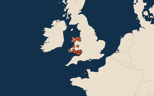
All of United Kingdom
- Local authorities of the United Kingdom
- 25 most populous local authorities of the United Kingdom
- Counties of the United Kingdom
More in Wales
Elsewhere in United Kingdom
- Council areas of Scotland
- Districts of Northern Ireland
- Regions of England
- Counties of Northern Ireland
United Kingdom, by kind
- 25 largest cities in the United Kingdom
- 14 largest lakes in the United Kingdom
- 25 longest rivers in the United Kingdom
- 25 highest peaks in the United Kingdom
How the figures are measured
Second-level units: the 218 local authorities, within the 4 countries (the first level), which the region hint names.