GeotchaA geography quiz on a real globe
Council areas of Scotland
32 council areas, each one drawn on a satellite globe. Name it when it lights up, find it when you are given its name, or type every one you can remember in Name all.
Free to start: a few quizzes a day cost nothing, and Geotcha Plus opens every quiz. What you miss comes back for review until it sticks.
The full list
About this quiz
Highland is the largest of the 32 council areas in this quiz, at 25,947 km²; Dundee City is the smallest listed, at 59 km². Highland's area is 3.8 times Argyll and Bute's (6,901 km²). The three largest hold 50% of the combined area of all 32.
The council areas
- 1Highland25,947 km²
- 2Argyll and Bute6,901 km²
- 3Dumfries and Galloway6,414 km²
- 4Aberdeenshire6,288 km²
- 5Perth and Kinross5,363 km²
- 6Scottish Borders4,725 km²
- 7Na h-Eileanan Siar2,988 km²
- 8Stirling2,246 km²
- 9Moray2,231 km²
- 10Angus2,175 km²
- 11South Lanarkshire1,765 km²
- 12Shetland Islands1,412 km²
- 13Fife1,317 km²
- 14East Ayrshire1,267 km²
- 15South Ayrshire1,217 km²
- 16Orkney Islands989 km²
- 17North Ayrshire875 km²
- 18East Lothian676 km²
- 19North Lanarkshire467 km²
- 20West Lothian426 km²
- 21Midlothian353 km²
- 22Falkirk294 km²
- 23Renfrewshire263 km²
- 24City of Edinburgh260 km²
- 25Aberdeen City186 km²
- 26West Dunbartonshire177 km²
- 27Glasgow City175 km²
- 28East Dunbartonshire174 km²
- 29East Renfrewshire173 km²
- 30Inverclyde161 km²
- 31Clackmannanshire159 km²
- 32Dundee City59 km²
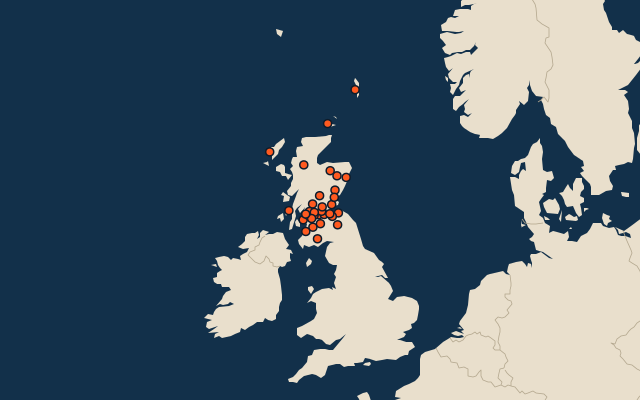
On the map
All of United Kingdom
- Local authorities of the United Kingdom
- 25 most populous local authorities of the United Kingdom
- Counties of the United Kingdom
Elsewhere in United Kingdom
- Principal areas of Wales
- Districts of Northern Ireland
- Regions of England
- Preserved counties of Wales
- Counties of Northern Ireland
United Kingdom, by kind
- 25 largest cities in the United Kingdom
- 14 largest lakes in the United Kingdom
- 25 longest rivers in the United Kingdom
- 25 highest peaks in the United Kingdom
How the figures are measured
Second-level units: the 218 local authorities, within the 4 countries (the first level), which the region hint names.