GeotchaA geography quiz on a real globe
Districts of Northern Ireland
11 districts, each one drawn on a satellite globe. Name it when it lights up, find it when you are given its name, or type every one you can remember in Name all.
Free to start: a few quizzes a day cost nothing, and Geotcha Plus opens every quiz. What you miss comes back for review until it sticks.
The full list
About this quiz
Fermanagh and Omagh is the largest of the 11 districts in this quiz, at 3,010 km²; Belfast is the smallest listed, at 132 km². Fermanagh and Omagh's area is 1.5 times Causeway Coast and Glens's (1,970 km²). The three largest hold 49% of the combined area of all 11.
The districts
- 1Fermanagh and Omagh3,010 km²
- 2Causeway Coast and Glens1,970 km²
- 3Mid Ulster1,939 km²
- 4Newry, Mourne and Down1,628 km²
- 5Armagh City, Banbridge and Craigavon1,431 km²
- 6Derry City and Strabane1,226 km²
- 7Mid and East Antrim1,039 km²
- 8Antrim and Newtownabbey724 km²
- 9Lisburn and Castlereagh510 km²
- 10Ards and North Down457 km²
- 11Belfast132 km²
On the map
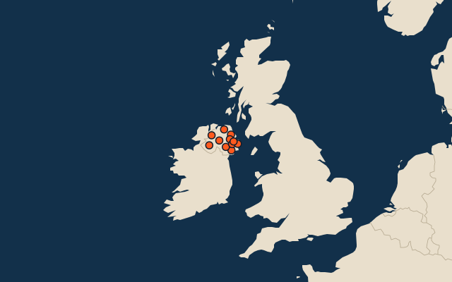
All of United Kingdom
- Local authorities of the United Kingdom
- 25 most populous local authorities of the United Kingdom
- Counties of the United Kingdom
More in Northern Ireland
Elsewhere in United Kingdom
United Kingdom, by kind
- 25 largest cities in the United Kingdom
- 14 largest lakes in the United Kingdom
- 25 longest rivers in the United Kingdom
- 25 highest peaks in the United Kingdom
How the figures are measured
Second-level units: the 218 local authorities, within the 4 countries (the first level), which the region hint names.