GeotchaA geography quiz on a real globe
Districts of Punjab, India
23 districts, each one drawn on a satellite globe. Name it when it lights up, find it when you are given its name, or type every one you can remember in Name all.
Free to start: a few quizzes a day cost nothing, and Geotcha Plus opens every quiz. What you miss comes back for review until it sticks.
The full list
About this quiz
Ludhiana is the largest of the 23 districts in this quiz, at 3,691 km²; Malerkotla is the smallest listed, at 681 km². The three largest hold 21% of the combined area of all 23.
The districts
- 1Ludhiana3,691 km²
- 2Bathinda3,384 km²
- 3Hoshiarpur3,382 km²
- 4Patiala3,284 km²
- 5Sangrur2,935 km²
- 6Fazilka2,876 km²
- 7Amritsar2,676 km²
- 8Sri Muktsar Sahib2,642 km²
- 9Jalandhar2,641 km²
- 10Gurdaspur2,605 km²
- 11Tarn Taran2,417 km²
- 12Firozpur2,372 km²
- 13Moga2,234 km²
- 14Mansa2,166 km²
- 15Kapurthala1,631 km²
- 16Faridkot1,476 km²
- 17Barnala1,425 km²
- 18Rupnagar1,374 km²
- 19Shaheed Bhagat Singh Nagar1,265 km²
- 20Fatehgarh Sahib1,155 km²
- 21Sahibzada Ajit Singh Nagar1,107 km²
- 22Pathankot951 km²
- 23Malerkotla681 km²
On the map
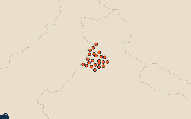
All of India
More in Punjab
Elsewhere in India
- Districts of Andhra Pradesh
- Districts of Assam
- Districts of Delhi
- Districts of Gujarat
- Districts of Haryana
- Districts of Himachal Pradesh
- Districts of Jammu and Kashmir
- Districts of Kerala
India, by kind
- 25 largest cities in India
- 12 largest lakes and reservoirs in India
- 25 longest rivers in India
- 25 highest peaks in India
How the figures are measured
Second-level units: the 770 districts, within the 36 states (the first level), which the region hint names.