GeotchaA geography quiz on a real globe
Crown lands of Austria-Hungary in 1900
18 crown lands of Austria-Hungary, each one drawn on a satellite globe. Name it when it lights up, find it when you are given its name, or type every one you can remember in Name all.
Free to start: a few quizzes a day cost nothing, and Geotcha Plus opens every quiz. What you miss comes back for review until it sticks.
The full list
About this quiz
Kingdom of Hungary is the largest of the 18 crown lands of Austria-Hungary in this quiz, at 281,911 km²; City of Fiume and its District is the smallest listed, at 19 km². Kingdom of Hungary's area is 3.2 times Galicia and Lodomeria's (88,642 km²). The three largest hold 66% of the combined area of all 18.
What they are known for
- Kingdom of Hungary: A first-level region of Austria-Hungary, on the map 1867–1902
- Galicia and Lodomeria: A first-level region of Austria-Hungary, on the map 1816–1902
- Bohemia: A first-level region of Austria-Hungary, on the map 1814–1908
- Kingdom of Croatia and Slavonia: A first-level region of Austria-Hungary, on the map 1868–1908
- Tirol: A first-level region of Austria-Hungary, on the map 1816–1908
- Styria: A first-level region of Austria-Hungary, on the map 1814–1920
- Moravia: A first-level region of Austria-Hungary, on the map 1850–1908
- Austria below the Enns: A first-level region of Austria-Hungary, on the map 1814–1908
The crown lands of Austria-Hungary
- 1Kingdom of Hungary281,911 km²
- 2Galicia and Lodomeria88,642 km²
- 3Bohemia51,743 km²
- 4Kingdom of Croatia and Slavonia42,361 km²
- 5Tirol29,222 km²
- 6Styria22,400 km²
- 7Moravia22,123 km²
- 8Austria below the Enns19,802 km²
- 9Austria above the Enns19,024 km²
- 10Kingdom of Dalmatia11,798 km²
- 11Duchy of Bukovina10,416 km²
- 12Carinthia10,335 km²
- 13Duchy of Carniola9,921 km²
- 14Austrian Littoral7,645 km²
- 15Duchy of Salzburg7,143 km²
- 16Austrian Silesia5,132 km²
- 17Vorarlberg2,635 km²
- 18City of Fiume and its District19 km²
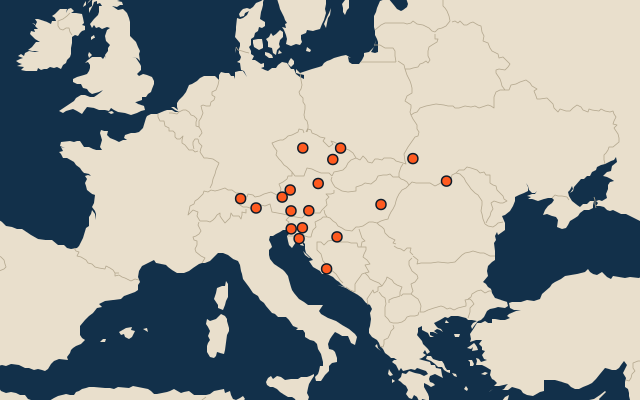
On the map
Similar quizzes
- Regions formerly held by Russia
- Regions formerly held by the Ottoman Empire
- Regions formerly held by Austria
- Regions formerly held by Hungary
- Regions formerly held by Germany
- Regions formerly held by Poland
- Regions formerly held by the Holy Roman Empire
- Regions formerly held by Denmark
How the figures are measured
The map as it stood on 1 July 1900 (a year means its 1 July), with the names of the time. The parts of a state as it was then: its first-level regions as OpenHistoricalMap draws them.