GeotchaA geography quiz on a real globe
8 longest rivers in Uttarakhand
8 rivers, each one drawn on a satellite globe. Name it when it lights up, find it when you are given its name, or type every one you can remember in Name all.
Free to start: a few quizzes a day cost nothing, and Geotcha Plus opens every quiz. What you miss comes back for review until it sticks.
The full list
About this quiz
The Ganges is the longest of the 8 rivers in this quiz, at 2,525 km; the Pindar is the shortest listed, at 120 km. The Ganges's length is 4.2 times the Ramganga's (600 km).
What they are known for
- Ganges: Sacred to Hindus; its basin is among the most densely populated places on Earth.
- Ramganga: Flows into the Ganges
- Sharda: Flows into the Ghaghara
- Kosi (Uttarakhand): Flows into the Ramganga
- Bhagirathi: Flows into the Ganges
- Alaknanda: Flows into the Ganges
- Pindar: Flows into the Alaknanda
The rivers
- 1Ganges2,525 km
- 2Ramganga600 km
- 3Sharda350 km
- 4Kosi (Uttarakhand)230 km
- 5Bhagirathi205 km
- 6Alaknanda190 km
- 7Tons150 km
- 8Pindar120 km
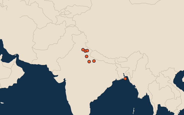
On the map
All of India
More in Uttarakhand
Elsewhere in India
- 8 longest rivers in Andhra Pradesh
- 10 longest rivers in Assam
- 6 longest rivers in Gujarat
- 8 longest rivers in Himachal Pradesh
- 6 longest rivers in Jammu and Kashmir
- 6 longest rivers in Kerala
- 14 longest rivers in Maharashtra
- 13 longest rivers in Karnataka
India, by kind
- 25 largest cities in India
- States of India
- 12 largest lakes and reservoirs in India
- 25 highest peaks in India
The whole world
How the figures are measured
Length in km as Wikidata records it (P2043, the best-ranked figure). Each named river counts on its own: the river that carries the name, from its source to its mouth. Headstreams and tributaries with names of their own are rivers of their own, so the Missouri and the Mississippi are two rivers here, as are the Irtysh and the Ob (the Longest River Systems set measures such chains as one system, from the most distant source). A named section of a river is that river: the Solimões, as the Amazon’s upper course is called in Brazil, is the Amazon. Where the recorded length runs from a differently named headwater (the Congo’s from the Lualaba’s source), the course is drawn on up that headwater. Rivers under 200 km are in only when they are well known (30 or more Wikipedia editions), and a river whose mapped course covers under half its recorded length is left out. An item counts for every first-level unit (state, province, county) it touches: a lake or island by its outline, within about 1.5 km; a river by its course, when 10 km of it (3% of a shorter river) lies in or along the unit; a summit, a cape or anything without a shape by its point.