GeotchaA geography quiz on a real globe
25 largest islands in Thailand
25 islands, each one drawn on a satellite globe. Name it when it lights up, find it when you are given its name, or type every one you can remember in Name all.
Free to start: a few quizzes a day cost nothing, and Geotcha Plus opens every quiz. What you miss comes back for review until it sticks.
The full list
About this quiz
Phuket is the largest of the 25 islands in this quiz, at 536 km²; Ko Surin Tai is the smallest listed, at 14 km². Phuket's area is 2.3 times Ko Samui's (229 km²). The three largest hold 46% of the combined area of all 25.
The islands
- 1Phuket536 km²
- 2Ko Samui229 km²
- 3Ko Chang217 km²
- 4Ko Tarutao146 km²
- 5Ko Pha-ngan125 km²
- 6Ko Kut114 km²
- 7Ko Phra Thong88 km²
- 8Ko Lanta Yai81 km²
- 9Ko Kho Khao63 km²
- 10Ko Adang59 km²
- 11Ko Lanta Noi52 km²
- 12Ko Jum48 km²
- 13Ko Chang (Ranong)44 km²
- 14Ko Ra41 km²
- 15Ko Yao Noi40 km²
- 16Ko Libong35 km²
- 17Ko Khram30 km²
- 18Ko Rawi30 km²
- 19Ko Phi Phi Don28 km²
- 20Ko Sukon25 km²
- 21Ko Tao21 km²
- 22Ko Surin Nuea18 km²
- 23Ko Mak16 km²
- 24Ko Phayam14 km²
- 25Ko Surin Tai14 km²
On the map
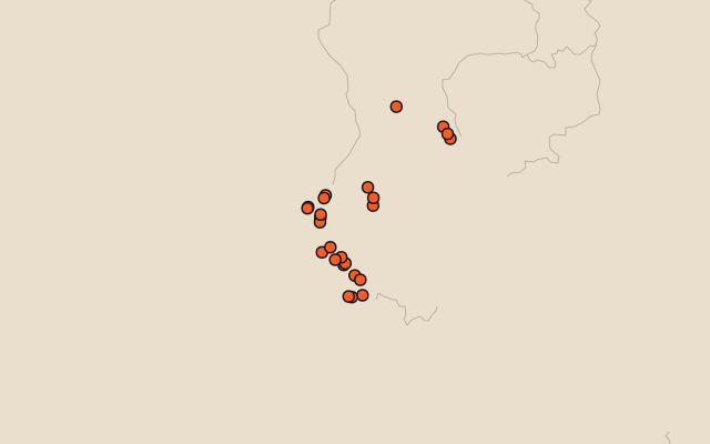
All of Asia
More in Thailand
- 25 largest cities in Thailand
- Provinces of Thailand
- 20 longest rivers in Thailand
- 10 highest peaks in Thailand
- 9 best known World Heritage Sites in Thailand
- Flags of the provinces of Thailand
- 10 largest cities in Thailand
- 10 most populous provinces of Thailand
- Cities ranked 26–50 in Thailand
- Provincial capitals of Thailand
In the regions of Thailand
Other countries of Asia
- 25 largest islands in India
- 25 largest islands in China
- 25 largest islands in Japan
- 25 largest islands in Indonesia
- 25 largest islands in the Philippines
- 23 largest islands in Turkey
- 14 largest islands in Iran
- 25 largest islands in Malaysia
The whole world
How the figures are measured
Land area in km²: the Largest Islands set’s figure for its islands, else Wikidata’s (P2046) where it fits the outline, else the area of the outline. Every island Natural Earth draws at 1:10m that Wikidata names, of 5 km² or more (smaller ones when well known), and every island of the Largest Islands set. Countries are those the island’s land lies in, from the outlines.