GeotchaA geography quiz on a real globe
13 largest islands in Attica, Greece
13 islands, each one drawn on a satellite globe. Name it when it lights up, find it when you are given its name, or type every one you can remember in Name all.
Free to play, with no account needed. What you miss comes back for review until it sticks.
The islands
- 1Kythira278 km²
- 2Salamis Island95 km²
- 3Aegina87 km²
- 4Hydra50 km²
- 5Spetses27 km²
- 6Poros23 km²
- 7Antikythera20 km²
- 8Dokos14 km²
- 9Agistri12 km²
- 10Agios Georgios4 km²
- 11Patroklos3 km²
- 12Spetsopoula2 km²
- 13Psyttaleia1 km²
Land area in km²: the Largest Islands set’s figure for its islands, else Wikidata’s (P2046) where it fits the outline, else the area of the outline. Every island Natural Earth draws at 1:10m that Wikidata names, of 5 km² or more (smaller ones when well known), and every island of the Largest Islands set. Countries are those the island’s land lies in, from the outlines. An item counts for every first-level unit (state, province, county) it touches: a lake or island by its outline, a river by its course, within about 1.5 km; a summit, a cape or anything without a shape by its point.
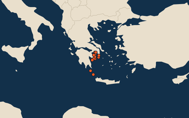
On the map
More in Attica
Similar quizzes
- 25 largest islands in Northern Territory
- 25 largest islands in Queensland
- 6 largest islands in South Australia
- 23 largest islands in Tasmania
- 25 largest islands in Western Australia
- 9 largest islands in Pará, Brazil
- 25 largest islands in British Columbia
- 6 largest islands in New Brunswick
- 25 largest islands in Newfoundland and Labrador
- 7 largest islands in Nova Scotia
- Largest islands