GeotchaA geography quiz on a real globe
Municipalities of Saga
20 municipalities, each one drawn on a satellite globe. Name it when it lights up, find it when you are given its name, or type every one you can remember in Name all.
Free to start: a few quizzes a day cost nothing, and Geotcha Plus opens every quiz. What you miss comes back for review until it sticks.
The full list
About this quiz
Karatsu is the largest of the 20 municipalities in this quiz, at 488 km²; Ōmachi is the smallest listed, at 12 km². The three largest hold 46% of the combined area of all 20.
The municipalities
- 1Karatsu488 km²
- 2Saga355 km²
- 3Imari255 km²
- 4Takeo195 km²
- 5Ureshino126 km²
- 6Kanzaki125 km²
- 7Kashima112 km²
- 8Shiroishi100 km²
- 9Taku97 km²
- 10Ogi96 km²
- 11Tara74 km²
- 12Tosu72 km²
- 13Arita66 km²
- 14Miyaki52 km²
- 15Yoshinogari44 km²
- 16Genkai36 km²
- 17Kōhoku24 km²
- 18Kiyama22 km²
- 19Kamimine13 km²
- 20Ōmachi12 km²
On the map
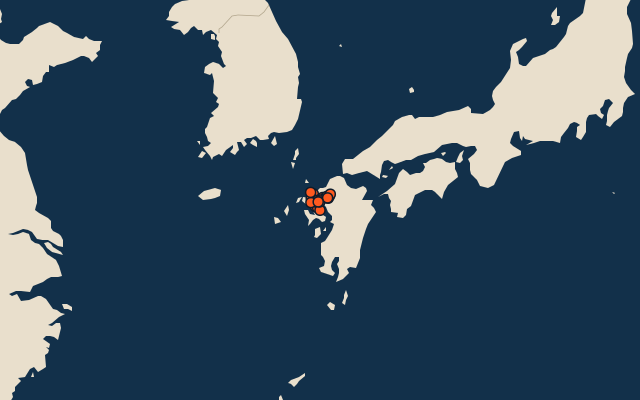
All of Japan
More in Saga
Elsewhere in Japan
- Municipalities of Aichi
- Municipalities of Akita
- Municipalities of Aomori
- Municipalities of Chiba
- Municipalities of Ehime
- Municipalities of Fukui
- Municipalities of Fukuoka
- Municipalities of Fukushima
Japan, by kind
- 25 highest peaks in Japan
- 25 largest cities in Japan
- 9 largest lakes in Japan
- 25 longest rivers in Japan
How the figures are measured
Second-level units: the 1740 municipalities, within the 47 prefectures (the first level), which the region hint names.