GeotchaA geography quiz on a real globe
Municipalities of Porto
18 municipalities, each one drawn on a satellite globe. Name it when it lights up, find it when you are given its name, or type every one you can remember in Name all.
Free to start: a few quizzes a day cost nothing, and Geotcha Plus opens every quiz. What you miss comes back for review until it sticks.
The full list
About this quiz
Amarante is the largest of the 18 municipalities in this quiz, at 301 km²; Porto is the smallest listed, at 41 km². The three largest hold 31% of the combined area of all 18.
The municipalities
- 1Amarante301 km²
- 2Penafiel212 km²
- 3Marco de Canaveses202 km²
- 4Baião175 km²
- 5Vila Nova de Gaia168 km²
- 6Paredes157 km²
- 7Vila do Conde149 km²
- 8Santo Tirso137 km²
- 9Gondomar132 km²
- 10Felgueiras116 km²
- 11Lousada96 km²
- 12Maia83 km²
- 13Póvoa de Varzim82 km²
- 14Valongo75 km²
- 15Trofa72 km²
- 16Paços de Ferreira71 km²
- 17Matosinhos62 km²
- 18Porto41 km²
On the map
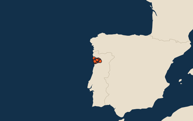
All of Portugal
More in Porto
Elsewhere in Portugal
- Municipalities of Aveiro
- Municipalities of Beja, Portugal
- Municipalities of Braga
- Municipalities of Bragança
- Municipalities of Castelo Branco
- Municipalities of Coimbra
- Municipalities of Évora
- Municipalities of Faro
Portugal, by kind
- 25 largest cities in Portugal
- 14 longest rivers in Portugal
- 21 highest peaks in Portugal
- 25 largest islands in Portugal
How the figures are measured
Second-level units: the 308 municipalities, within the 20 districts (the first level), which the region hint names.