GeotchaA geography quiz on a real globe
Municipalities of Kumamoto
45 municipalities, each one drawn on a satellite globe. Name it when it lights up, find it when you are given its name, or type every one you can remember in Name all.
Free to start: a few quizzes a day cost nothing, and Geotcha Plus opens every quiz. What you miss comes back for review until it sticks.
The full list
About this quiz
Amakusa is the largest of the 45 municipalities in this quiz, at 683 km²; Kashima is the smallest listed, at 17 km². The three largest hold 26% of the combined area of all 45.
The municipalities
- 1Amakusa683 km²
- 2Yatsushiro681 km²
- 3Yamato545 km²
- 4Kumamoto390 km²
- 5Aso376 km²
- 6Yamaga300 km²
- 7Kikuchi277 km²
- 8Itsuki253 km²
- 9Ashikita234 km²
- 10Hitoyoshi211 km²
- 11Kuma208 km²
- 12Mizukami191 km²
- 13Uki189 km²
- 14Takamori175 km²
- 15Taragi166 km²
- 16Minamata163 km²
- 17Asagiri160 km²
- 18Tamana153 km²
- 19Misato144 km²
- 20Minamiaso137 km²
- 21Oguni137 km²
- 22Kami-Amakusa127 km²
- 23Yamae121 km²
- 24Minamioguni116 km²
- 25Mifune99 km²
- 26Nagomi99 km²
- 27Ōzu99 km²
- 28Sagara95 km²
- 29Nishiki85 km²
- 30Nishihara77 km²
- 31Uto74 km²
- 32Nankan69 km²
- 33Reihoku68 km²
- 34Mashiki66 km²
- 35Ubuyama61 km²
- 36Kōsa58 km²
- 37Arao57 km²
- 38Kōshi53 km²
- 39Yunomae48 km²
- 40Kikuyō37 km²
- 41Tsunagi34 km²
- 42Hikawa33 km²
- 43Gyokutō24 km²
- 44Nagasu19 km²
- 45Kashima17 km²
On the map
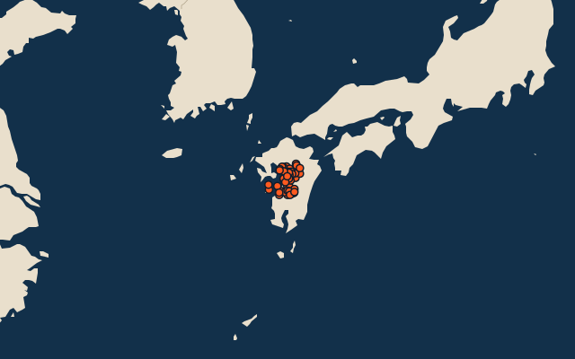
All of Japan
More in Kumamoto
Elsewhere in Japan
- Municipalities of Aichi
- Municipalities of Akita
- Municipalities of Aomori
- Municipalities of Chiba
- Municipalities of Ehime
- Municipalities of Fukui
- Municipalities of Fukuoka
- Municipalities of Fukushima
Japan, by kind
- 25 highest peaks in Japan
- 25 largest cities in Japan
- 9 largest lakes in Japan
- 25 longest rivers in Japan
How the figures are measured
Second-level units: the 1740 municipalities, within the 47 prefectures (the first level), which the region hint names.