GeotchaA geography quiz on a real globe
Municipalities of Kagoshima
43 municipalities, each one drawn on a satellite globe. Name it when it lights up, find it when you are given its name, or type every one you can remember in Name all.
Free to start: a few quizzes a day cost nothing, and Geotcha Plus opens every quiz. What you miss comes back for review until it sticks.
The full list
About this quiz
Kagoshima is the largest of the 43 municipalities in this quiz, at 547,050,000 km²; Yoron is the smallest listed, at 21 km². Kagoshima's area is more than ten times Satsumasendai's (683 km²). The three largest hold 100% of the combined area of all 43.
The municipalities
- 1Kagoshima547,050,000 km²
- 2Satsumasendai683 km²
- 3Kirishima603 km²
- 4Yakushima540 km²
- 5Kanoya448 km²
- 6Isa393 km²
- 7Soo390 km²
- 8Minamikyūshū358 km²
- 9Izumi330 km²
- 10Amami308 km²
- 11Kimotsuki308 km²
- 12Satsuma304 km²
- 13Shibushi290 km²
- 14Minamisatsuma284 km²
- 15Hioki253 km²
- 16Setouchi240 km²
- 17Aira231 km²
- 18Minamiōsumi214 km²
- 19Nishinoomote206 km²
- 20Kinkō163 km²
- 21Tarumizu162 km²
- 22Ibusuki149 km²
- 23Yūsui144 km²
- 24Nakatane137 km²
- 25Akune134 km²
- 26Nagashima116 km²
- 27Ichikikushikino112 km²
- 28Minamitane110 km²
- 29Tokunoshima105 km²
- 30Uken103 km²
- 31Ōsaki101 km²
- 32Toshima101 km²
- 33Yamato88 km²
- 34Tatsugō82 km²
- 35Amagi80 km²
- 36Makurazaki75 km²
- 37Isen63 km²
- 38Kikai57 km²
- 39China53 km²
- 40Wadomari40 km²
- 41Mishima31 km²
- 42Higashikushira28 km²
- 43Yoron21 km²
On the map
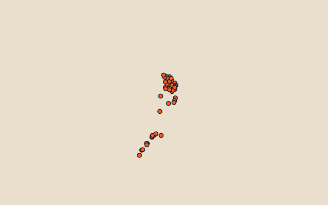
All of Japan
More in Kagoshima
Elsewhere in Japan
- Municipalities of Aichi
- Municipalities of Akita
- Municipalities of Aomori
- Municipalities of Chiba
- Municipalities of Ehime
- Municipalities of Fukui
- Municipalities of Fukuoka
- Municipalities of Fukushima
Japan, by kind
- 25 highest peaks in Japan
- 25 largest cities in Japan
- 9 largest lakes in Japan
- 25 longest rivers in Japan
How the figures are measured
Second-level units: the 1740 municipalities, within the 47 prefectures (the first level), which the region hint names.