GeotchaA geography quiz on a real globe
Municipalities of Hyōgo
41 municipalities, each one drawn on a satellite globe. Name it when it lights up, find it when you are given its name, or type every one you can remember in Name all.
Free to start: a few quizzes a day cost nothing, and Geotcha Plus opens every quiz. What you miss comes back for review until it sticks.
The full list
About this quiz
Toyooka is the largest of the 41 municipalities in this quiz, at 698 km²; Harima is the smallest listed, at 9 km². The three largest hold 22% of the combined area of all 41.
The municipalities
- 1Toyooka698 km²
- 2Shisō659 km²
- 3Kobe557 km²
- 4Himeji534 km²
- 5Tamba493 km²
- 6Yabu423 km²
- 7Asago403 km²
- 8Tamba-Sasayama378 km²
- 9Kami369 km²
- 10Sayō307 km²
- 11Shin'onsen241 km²
- 12Minamiawaji229 km²
- 13Tatsuno211 km²
- 14Sanda210 km²
- 15Kamikawa202 km²
- 16Taka185 km²
- 17Awaji184 km²
- 18Sumoto182 km²
- 19Miki177 km²
- 20Katō157 km²
- 21Kasai151 km²
- 22Kamigōri150 km²
- 23Taishi150 km²
- 24Kakogawa139 km²
- 25Nishiwaki132 km²
- 26Akō127 km²
- 27Takarazuka102 km²
- 28Nishinomiya100 km²
- 29Ono93 km²
- 30Aioi90 km²
- 31Inagawa90 km²
- 32Ichikawa83 km²
- 33Kawanishi53 km²
- 34Amagasaki50 km²
- 35Akashi49 km²
- 36Fukusaki46 km²
- 37Inami35 km²
- 38Takasago34 km²
- 39Itami25 km²
- 40Ashiya18 km²
- 41Harima9 km²
On the map
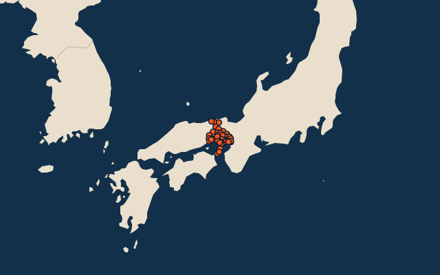
All of Japan
More in Hyōgo
Elsewhere in Japan
- Municipalities of Aichi
- Municipalities of Akita
- Municipalities of Aomori
- Municipalities of Chiba
- Municipalities of Ehime
- Municipalities of Fukui
- Municipalities of Fukuoka
- Municipalities of Fukushima
Japan, by kind
- 25 highest peaks in Japan
- 25 largest cities in Japan
- 9 largest lakes in Japan
- 25 longest rivers in Japan
How the figures are measured
Second-level units: the 1740 municipalities, within the 47 prefectures (the first level), which the region hint names.