GeotchaA geography quiz on a real globe
Municipalities of Azores, Portugal
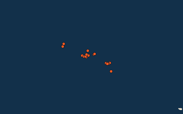
19 municipalities, each one drawn on a satellite globe. Name it when it lights up, find it when you are given its name, or type every one you can remember in Name all.
Free to start: a few quizzes a day cost nothing, and Geotcha Plus opens every quiz. What you miss comes back for review until it sticks.
The full list
About this quiz
Angra do Heroísmo is the largest of the 19 municipalities in this quiz, at 239 km²; Vila do Corvo is the smallest listed, at 17 km². The three largest hold 28% of the combined area of all 19.
The municipalities
- 1Angra do Heroísmo239 km²
- 2Ponta Delgada233 km²
- 3Ribeira Grande180 km²
- 4Horta173 km²
- 5Praia da Vitória161 km²
- 6Lajes do Pico155 km²
- 7Madalena147 km²
- 8São Roque do Pico142 km²
- 9Calheta126 km²
- 10Velas117 km²
- 11Povoação106 km²
- 12Nordeste102 km²
- 13Vila do Porto97 km²
- 14Vila Franca do Campo78 km²
- 15Santa Cruz das Flores71 km²
- 16Lajes das Flores70 km²
- 17Santa Cruz da Graciosa61 km²
- 18Lagoa46 km²
- 19Vila do Corvo17 km²
On the map
All of Portugal
More in Azores
Elsewhere in Portugal
- Municipalities of Aveiro
- Municipalities of Beja, Portugal
- Municipalities of Braga
- Municipalities of Bragança
- Municipalities of Castelo Branco
- Municipalities of Coimbra
- Municipalities of Évora
- Municipalities of Faro
Portugal, by kind
- 25 largest cities in Portugal
- 14 longest rivers in Portugal
- 21 highest peaks in Portugal
- 25 largest islands in Portugal
How the figures are measured
Second-level units: the 308 municipalities, within the 20 districts (the first level), which the region hint names.