GeotchaA geography quiz on a real globe
18 highest peaks in Emilia-Romagna
18 peaks, each one drawn on a satellite globe. Name it when it lights up, find it when you are given its name, or type every one you can remember in Name all.
Free to start: a few quizzes a day cost nothing, and Geotcha Plus opens every quiz. What you miss comes back for review until it sticks.
The full list
About this quiz
Monte Cimone is the highest of the 18 peaks in this quiz, at 2,165 m; Pietra di Bismantova is the lowest listed, at 1,047 m.
What they are known for
- Monte Cimone: In the Appennino Modenese; prominence 1,577 m
- Monte Cusna: In the Appennino reggiano; prominence 731 m
- Monte Prado: In the Appennino reggiano; prominence 288 m
- Alpe di Succiso: In the Appennino reggiano; prominence 770 m
- Monte Giovo: In the Appennino Tosco-Emiliano; prominence 443 m
- Monte Sillara: Prominence 663 m
- Monte Penna: Prominence 384 m
- Monte Ventasso: In the Appennino reggiano; prominence 487 m
The peaks
- 1Monte Cimone2,165 m
- 2Monte Cusna2,121 m
- 3Monte Prado2,054 m
- 4Alpe di Succiso2,017 m
- 5Monte Giovo1,991 m
- 6Monte Sillara1,861 m
- 7Monte Penna1,735 m
- 8Monte Ventasso1,727 m
- 9Monte Lesima1,724 m
- 10Alpesigola1,642 m
- 11Monte Caio1,584 m
- 12Monte Molinatico1,549 m
- 13Monte Pelpi1,480 m
- 14Monte Aserei1,432 m
- 15Mount Fumaiolo1,407 m
- 16Monte Calvi1,283 m
- 17Monte Coroncina1,169 m
- 18Pietra di Bismantova1,047 m
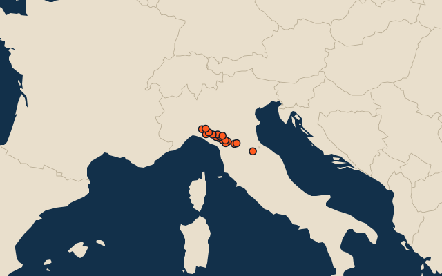
On the map
All of Italy
More in Emilia-Romagna
Elsewhere in Italy
- 19 highest peaks in Abruzzo
- 7 highest peaks in Basilicata
- 9 highest peaks in Campania
- 17 highest peaks in Friuli-Venezia Giulia
- 11 highest peaks in Lazio
- 13 highest peaks in Liguria
- 25 highest peaks in Lombardy
- 12 highest peaks in The Marches
Italy, by kind
The whole world
How the figures are measured
Summit elevation above sea level in metres: the Famous Peaks and Famous Volcanoes sets’ figure for their items, else Wikidata’s (P2044). Notable mountains and volcanoes from Wikidata: those with a prominence of 300 m or more, those 1,000 m or higher with articles in 8 or more Wikipedia editions, well-known volcanoes, and every country’s highest point (at most 400 a country), with every item of the Famous Peaks and Famous Volcanoes sets. Countries are Wikidata’s: both for a summit on a border. An item counts for every first-level unit (state, province, county) it touches: a lake or island by its outline, within about 1.5 km; a river by its course, when 10 km of it (3% of a shorter river) lies in or along the unit; a summit, a cape or anything without a shape by its point.